Projects
We thank our sponsors, including but not limited to National Science Foundation, NASA, NREL, NIH and Population Council. See each project for more details.
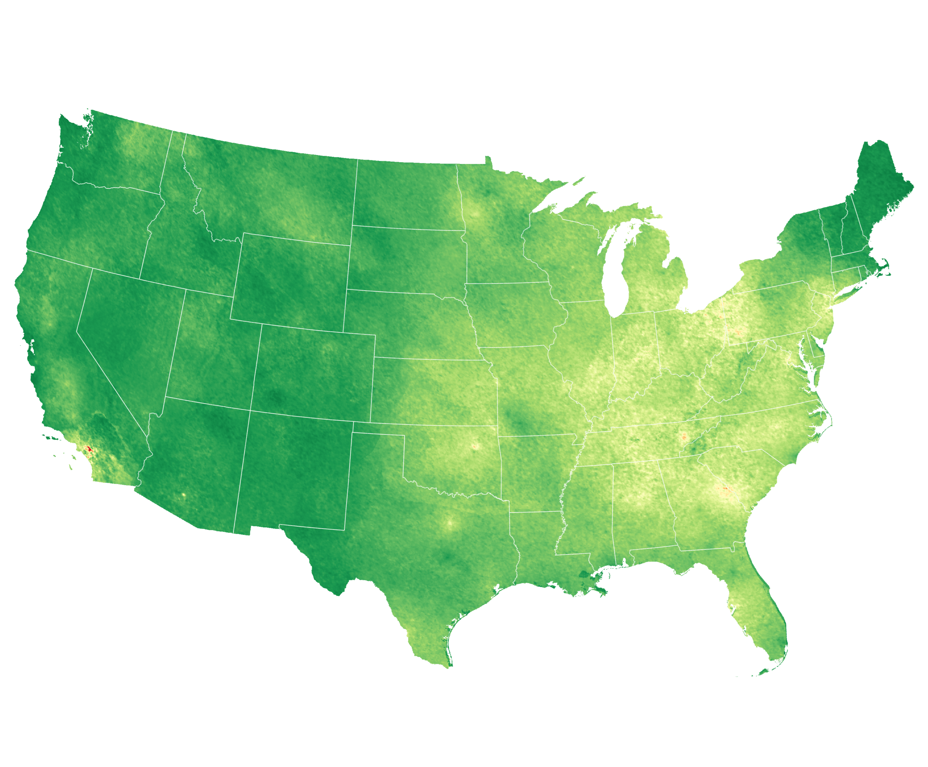
Ground-stations characterize air quality by observing air pollution concentrations at the air pollution stations. On the other hand, people live and work in places relatively far from these sensors. So how do we quantify or study the impacts of air pollution on public health? Satellite observations can help with that!... Continue reading.
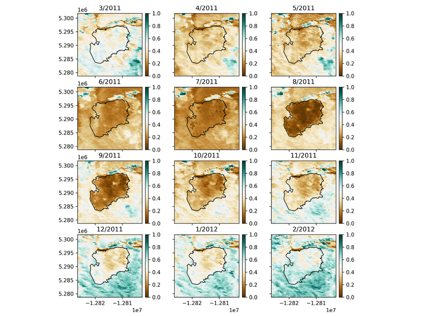
In the aftermath of wildland fires, understanding and forecasting the trajectories and patterns of vegetation regrowth is crucial for sustainable land management and environmental conservation. The major question is whether and how an area ‘recovers’ in the short and long term. Continue reading.
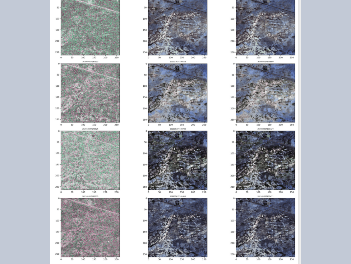
This project develops a foundation model that leverages multi-source satellite data to enable few-shot learning for various environmental monitoring tasks. We utilize both Synthetic Aperture Radar (SAR) data from Sentinel-1 and optical imagery from Sentinel-2. SAR, which emits and receives radar signals, captures surface texture and moisture content and can... Continue reading.
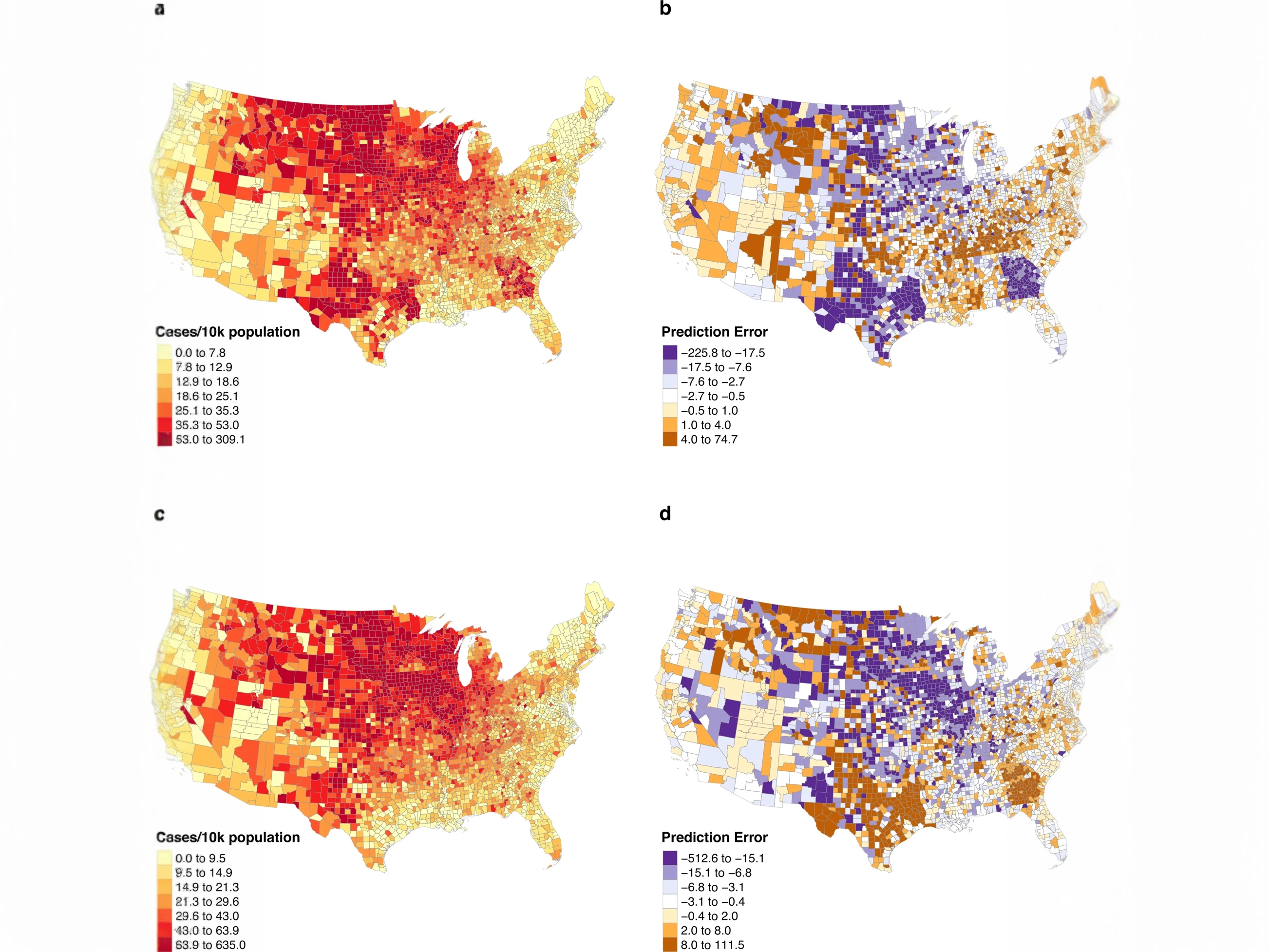
The COVID-19 pandemic’s severe impact highlighted the need for accurate and timely forecasting of case and hospitalizations in each state and county to enable effective planning and resource allocation. The need for medical equipment across the country was so severe and timely that at times, states outbid each other to... Continue reading.
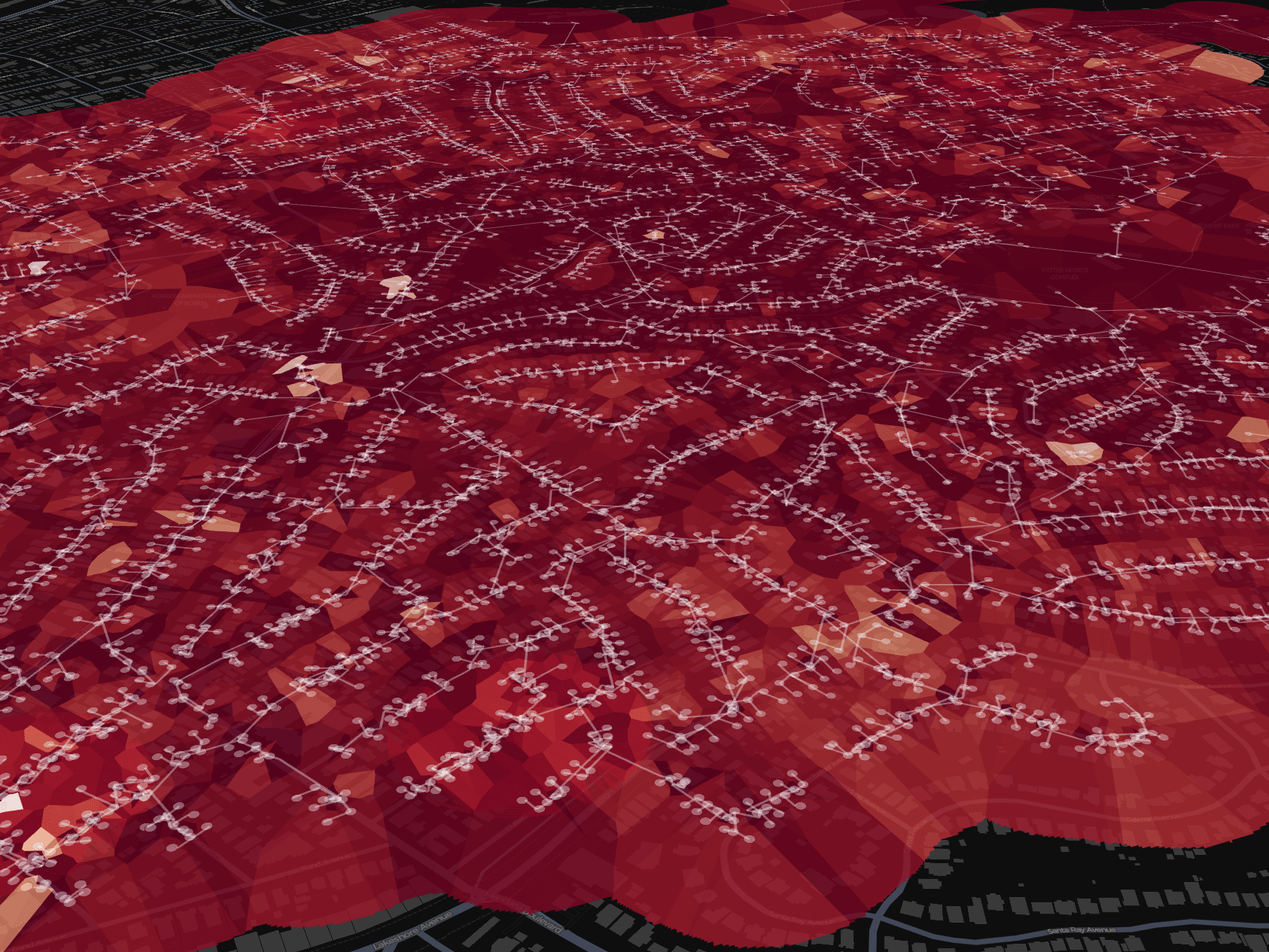
Electrical grids are geographical and topological structures whose voltage states are challenging to represent efficiently for visual analysis, especially at scale. The current common practice is to use colored contour maps (i.e., heatmaps), yet these can misrepresent the data primarily because they average values over geographic distance, while ignoring network... Continue reading.
Sea ice charting is vital for navigating safely through icy waters and for scientists studying climate change in polar regions. Traditionally, experts at national ice centers manually interpret various types of satellite data to create sea ice maps using a standard called SIGRID-3. This manual process is slow and struggles... Continue reading.
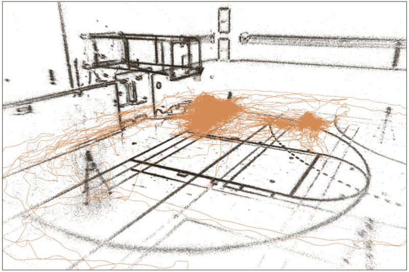
Keystep recognition is a fine-grained video understanding task that aims to classify small, heterogeneous steps within long-form videos of human activities. Current approaches have poor performance, reaching 35-42% accuracy on the Ego-Exo4D benchmark dataset. Continue reading.
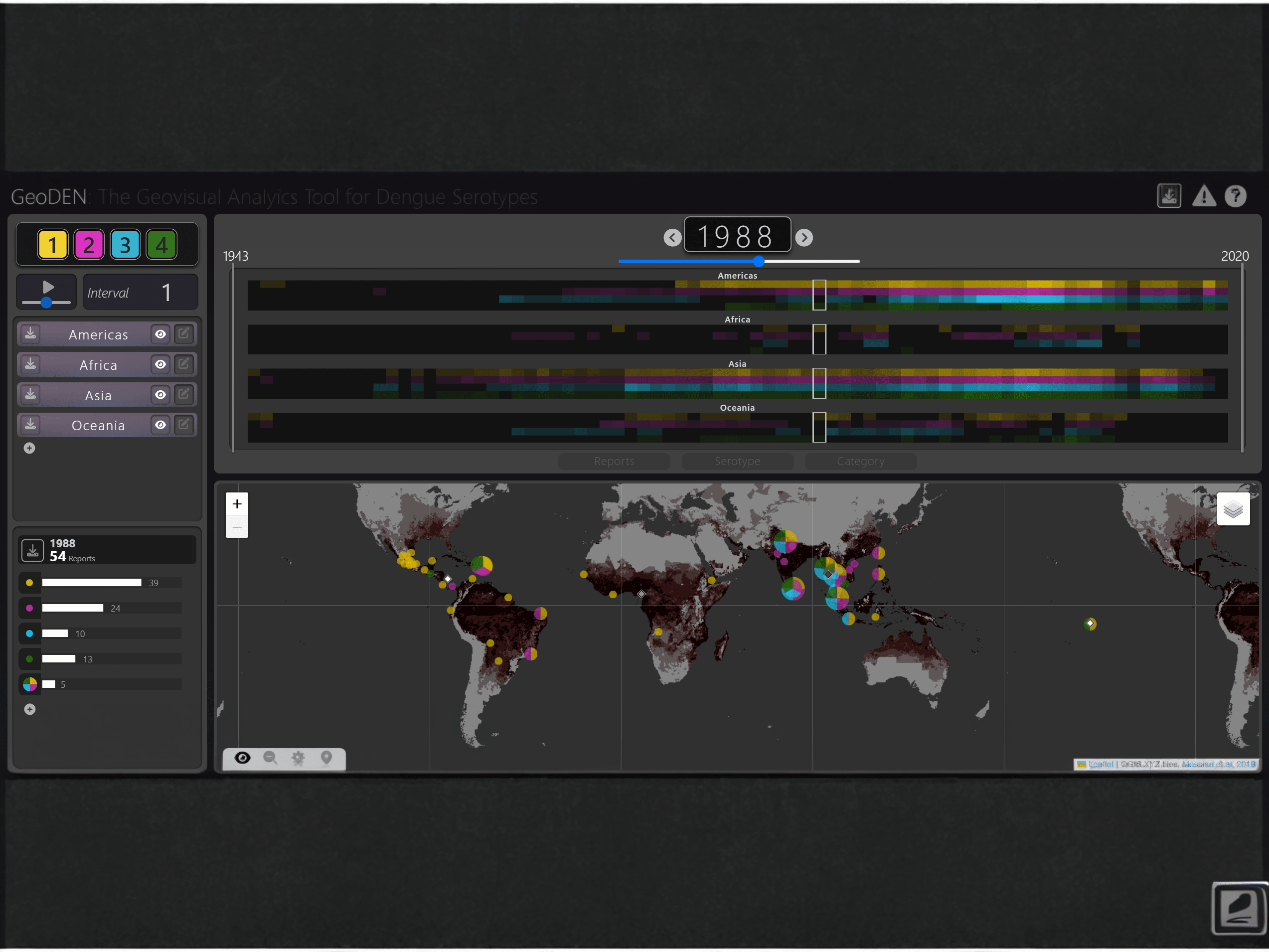
Dengue is a mosquito-born virus, endemic to regions populated by over half the globe. Its four serotypes move and interact at global and regional scales, although these patterns are not well understood by researchers. GeoDEN aims to aid epidemiologists in this persuit. It is a visual analytics tool for investigating... Continue reading.
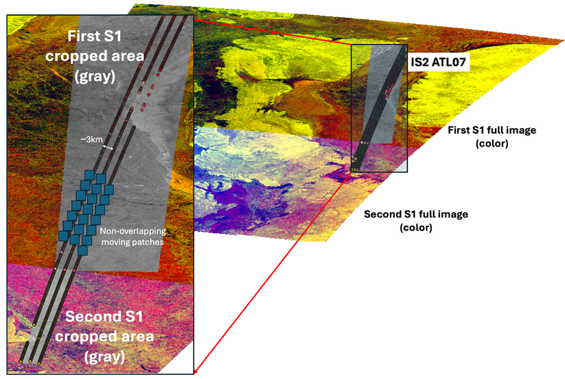
This project integrates remote sensing and altimetry data to enhance sea ice mapping, with applications and methods generalizable to other application areas, including land remote sensing. We utilize Synthetic Aperture Radar (SAR) from Sentinel-1, which provides high-resolution images capable of penetrating clouds and darkness, and optical satellite imagery from Sentinel-2,... Continue reading.


