Visual Analytics for Spatiotemporal Analysis of Dengue Serotypes
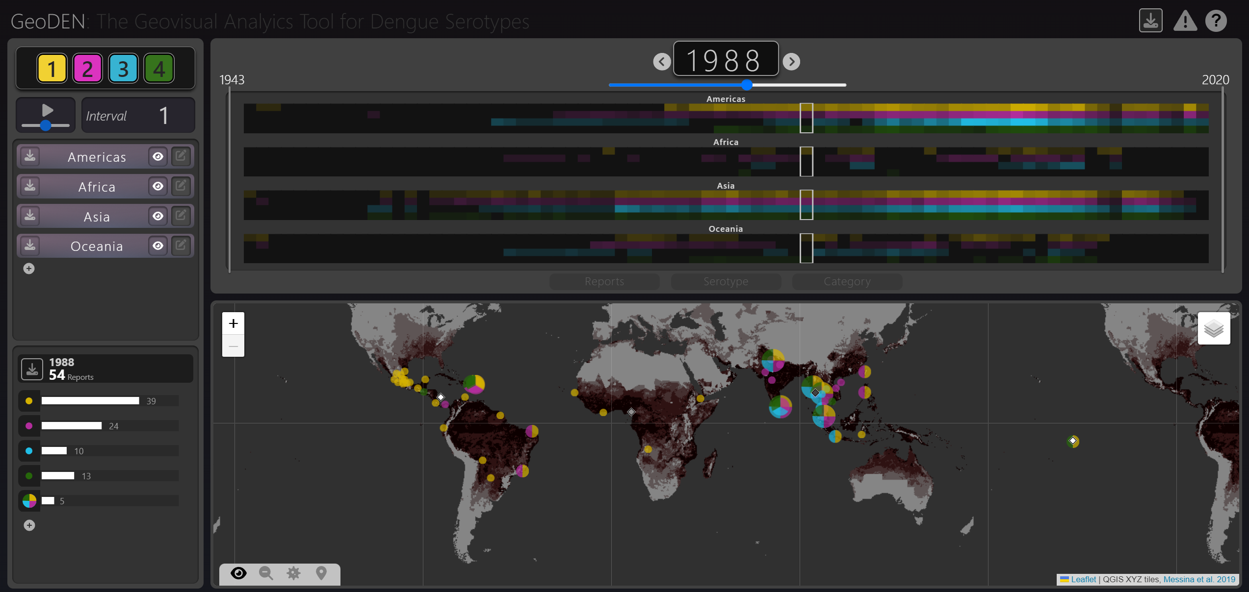
Dengue is a mosquito-born virus, endemic to regions populated by over half the globe. Its four serotypes move and interact at global and regional scales, although these patterns are not well understood by researchers. GeoDEN aims to aid epidemiologists in this persuit. It is a visual analytics tool for investigating spatiotemporal patterns in dengue reports.
Static maps and animations limit the analytical depth and scope of visualization, and analysis of serotype movement and interaction has been limited to local scales. Therefore, researchers wanted a tool which enabled this sort of analysis. GeoDEN was designed with our target users throughout the design process, ensuring it fulfills these tasks.
GeoDEN uses a system of linked visualizations and filtering mechanisms. It enables analysis at various spatial and temporal scales, and the techniques in GeoDEN can be adapted for exploring other epidemiology and disease incident datasets.


