Research Publications
Highlighted
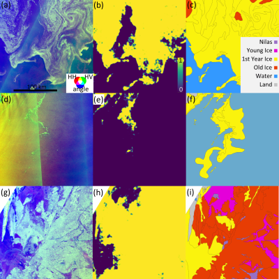
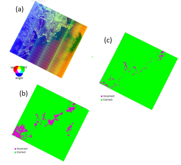
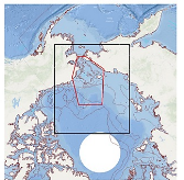
Model Ensemble With Dropout for Uncertainty Estimation in Sea Ice Segmentation Using Sentinel-1 SAR
IEEE Transactions on Geoscience and Remote Sensing
·
01 Jan 2023
·
doi:10.1109/TGRS.2023.3331276
All
2025
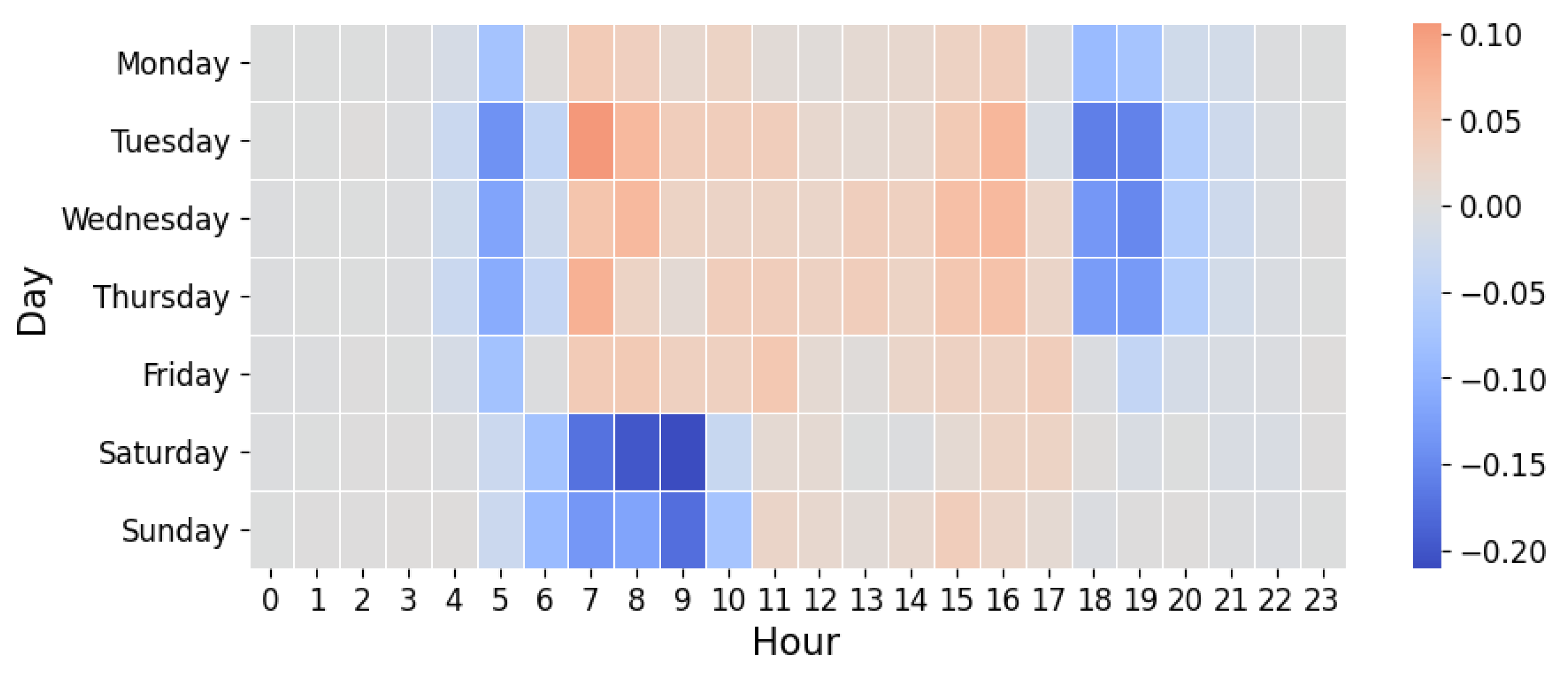
Respiratory Exacerbations Increase with Chronic PM2.5Exposure in Current and Former Smokers
Cold Spring Harbor Laboratory
·
29 May 2025
·
doi:10.1101/2025.05.27.25328449
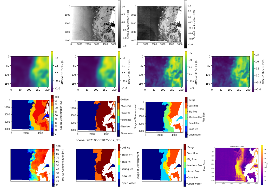
Enhancing and Interpreting Deep Learning for Sea Ice Charting using the AutoICE Benchmark
Remote Sensing Applications: Society and Environment
·
01 Apr 2025
·
doi:10.1016/j.rsase.2025.101538
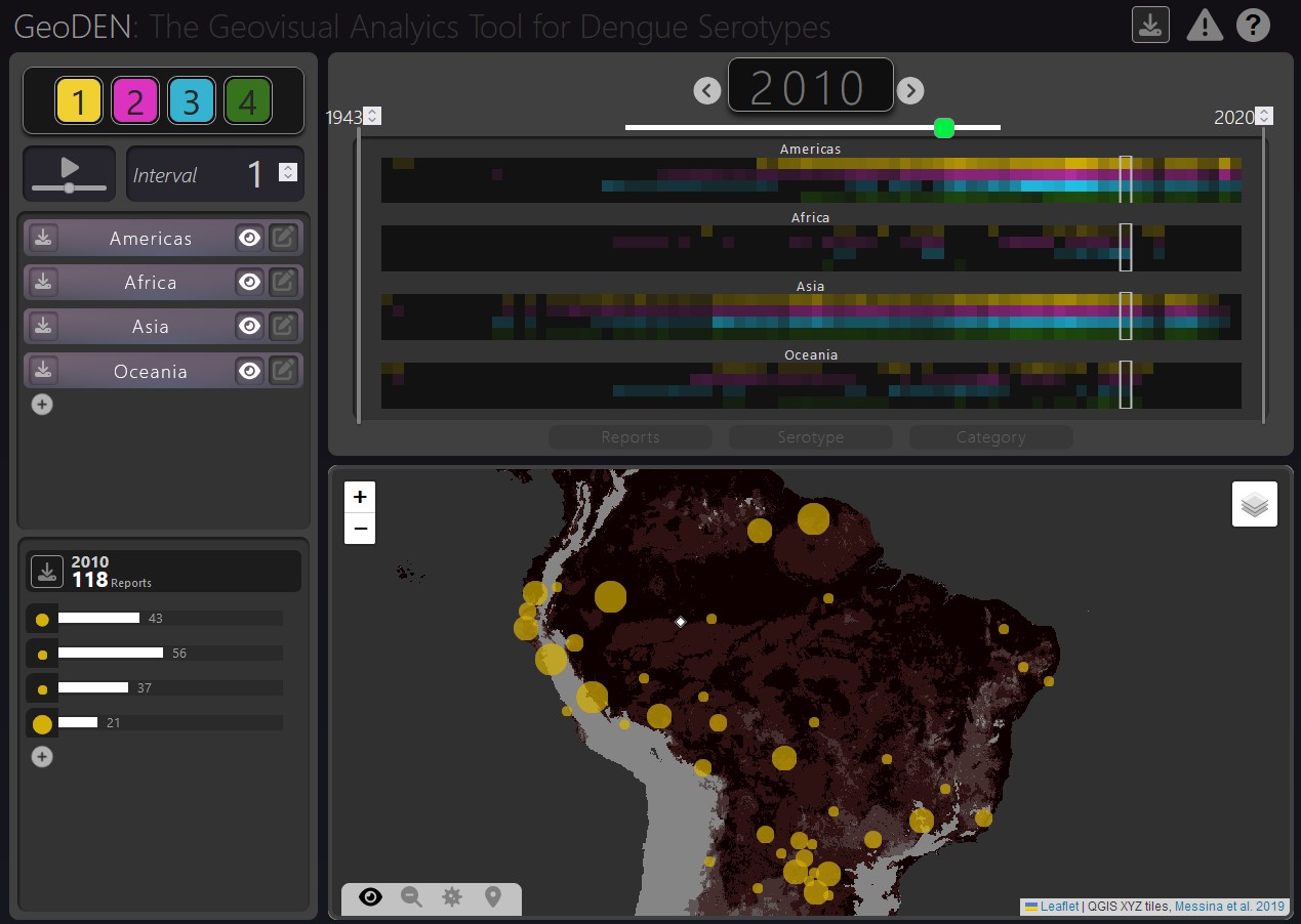
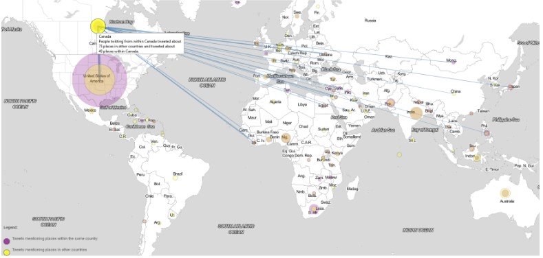
GeoDEN: A Visual Exploration Tool for Analyzing the Geographic Spread of Dengue Serotypes
Computer Graphics Forum
·
11 Mar 2025
·
doi:10.1111/cgf.70087
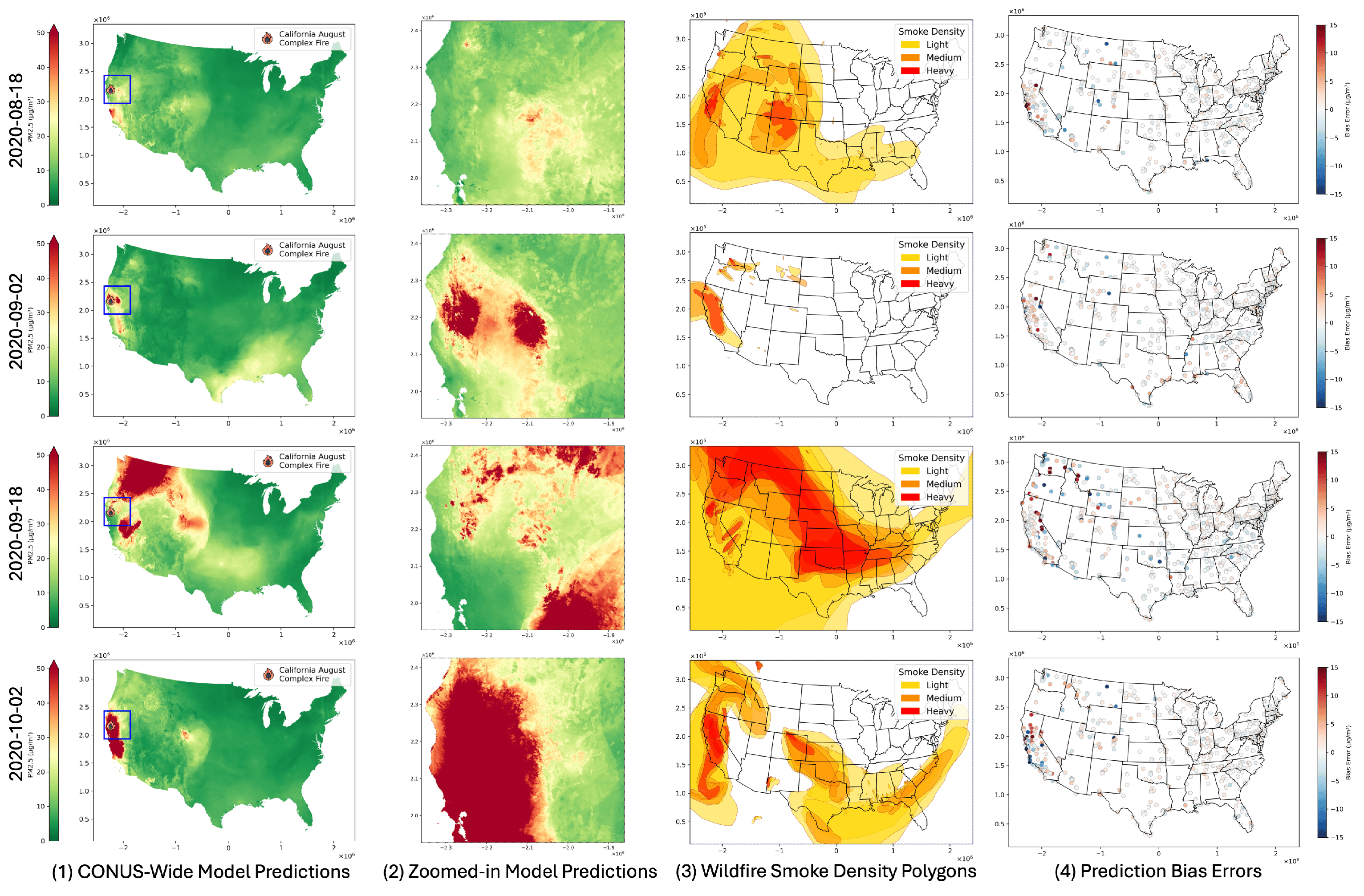
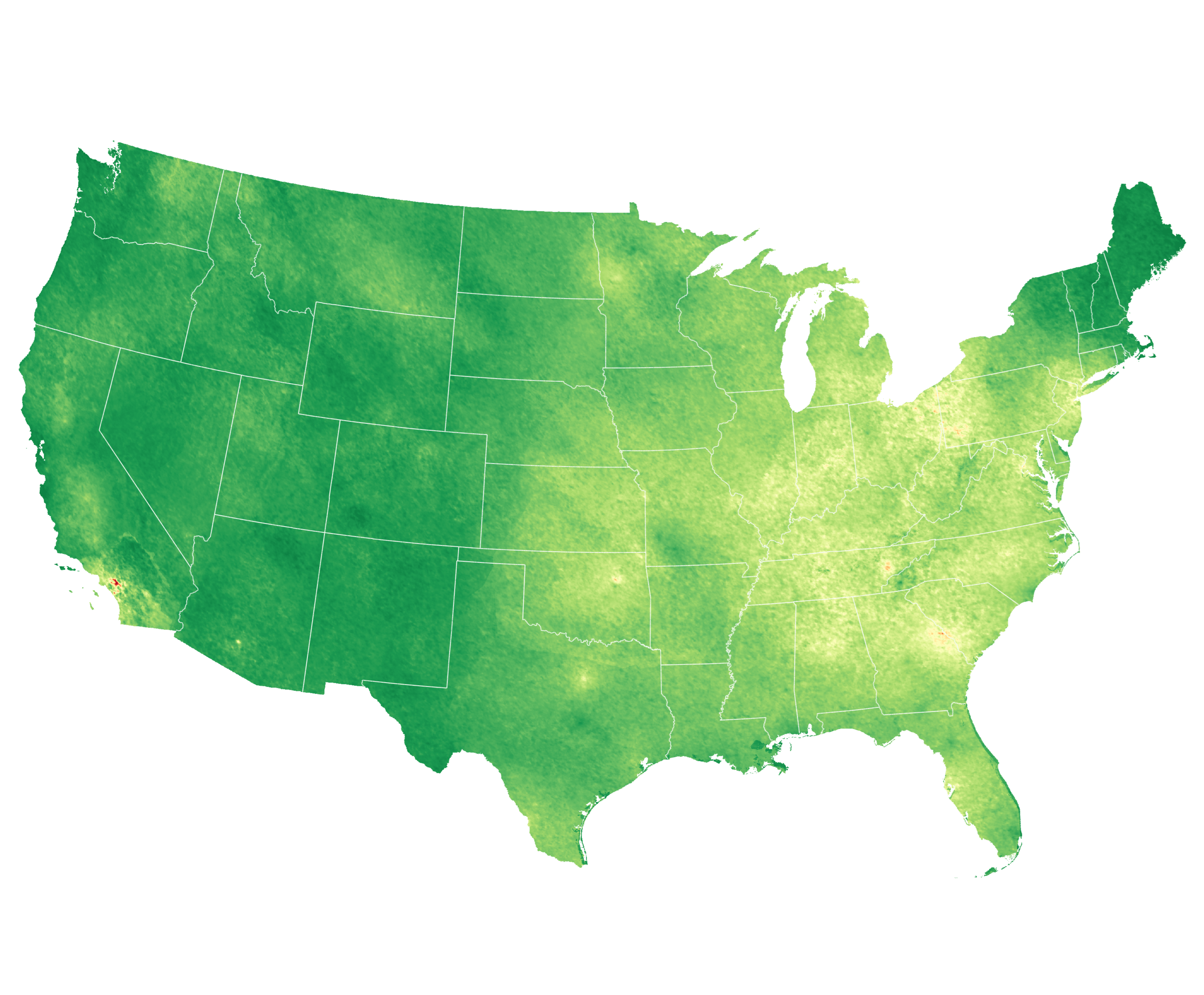
High-Resolution Estimation of Daily PM2.5 Levels in the Contiguous US Using Bi-LSTM with Attention
Remote Sensing
·
02 Jan 2025
·
doi:10.3390/rs17010126
Performance and Generalizability Impacts of Incorporating Geolocation into Deep Learning for Dynamic PM2.5 Estimation
arXiv
·
01 Jan 2025
·
doi:10.48550/arXiv.2505.18461
2024
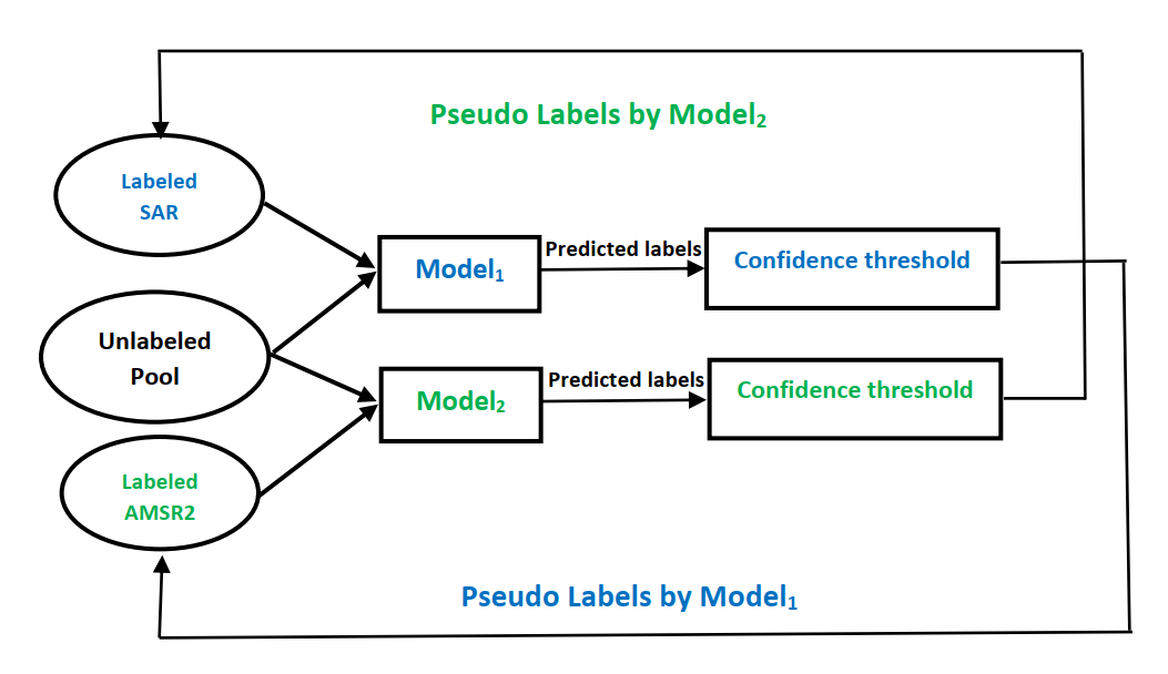
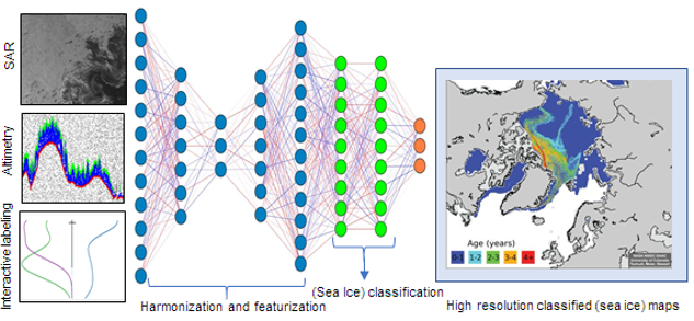
Semi-Supervised Multi-Source Sea Ice Classification in Small-Data Regime
2024 IEEE International Conference on Big Data (BigData)
·
15 Dec 2024
·
doi:10.1109/BigData62323.2024.10825475
Semi-Supervised Multi-Source Sea Ice Classification in Small-Data Regime
2024 IEEE International Conference on Big Data (BigData)
·
15 Dec 2024
·
doi:10.1109/bigdata62323.2024.10825475
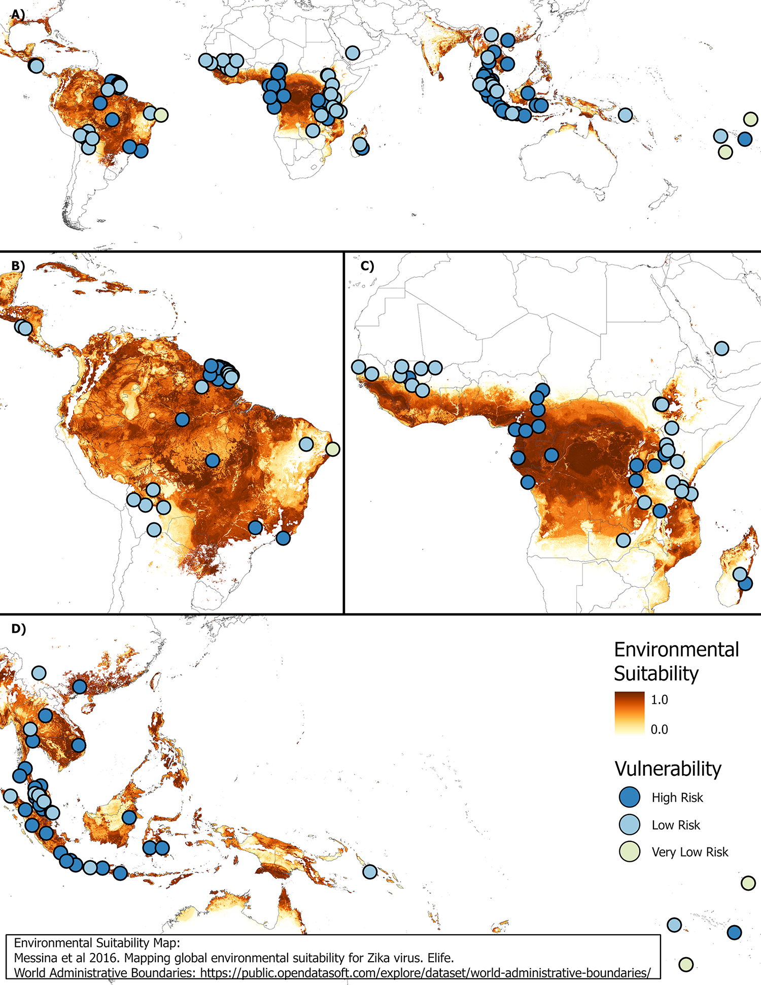
Assessing vulnerability for future Zika virus outbreaks using seroprevalence data and environmental suitability maps
PLOS Neglected Tropical Diseases
·
22 Mar 2024
·
doi:10.1371/journal.pntd.0012017
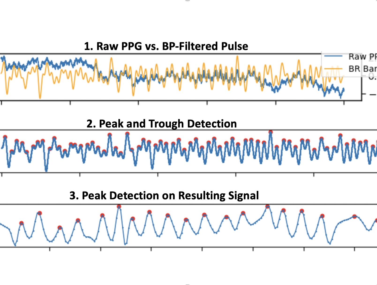
OptiBreathe: An Earable-based PPG System for Continuous Respiration Rate, Breathing Phase, and Tidal Volume Monitoring
Proceedings of the 25th International Workshop on Mobile Computing Systems and Applications
·
28 Feb 2024
·
doi:10.1145/3638550.3641136
Partial Label Learning With Focal Loss for Sea Ice Classification Based on Ice Charts
IEEE Journal of Selected Topics in Applied Earth Observations and Remote Sensing
·
01 Jan 2024
·
doi:10.1109/JSTARS.2024.3413003
Texts
Geographic Information Science & Technology Body of Knowledge
·
01 Jan 2024
·
doi:10.22224/gistbok/2024.1.8
2023
Alternatives to Contour Visualizations for Power Systems Data
2023 Workshop on Energy Data Visualization (EnergyVis)
·
22 Oct 2023
·
doi:10.1109/energyvis60781.2023.00009
Enhancing sea ice segmentation in Sentinel-1 images with atrous convolutions
International Journal of Remote Sensing
·
02 Sep 2023
·
doi:10.1080/01431161.2023.2248560
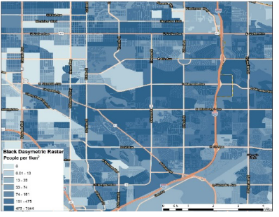
Characterizing Spatial Accessibility of COVID-19 Testing and Vaccination Sites using Dasymetric Mapping and GIS
Advances in Cartography and GIScience of the ICA
·
07 Aug 2023
·
doi:10.5194/ica-adv-4-12-2023
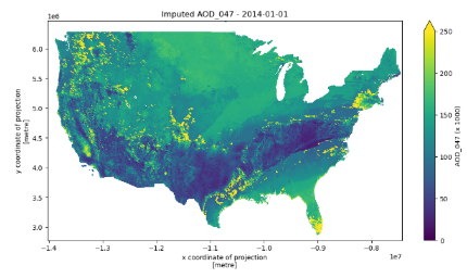
Increasing the Spatial Coverage of Atmospheric Aerosol Depth Measurements using Random Forest and Mean Filters
IGARSS 2023 - 2023 IEEE International Geoscience and Remote Sensing Symposium
·
16 Jul 2023
·
doi:10.1109/igarss52108.2023.10282685
Deep Learning on SAR Imagery: Transfer Learning Versus Randomly Initialized Weights
IGARSS 2023 - 2023 IEEE International Geoscience and Remote Sensing Symposium
·
16 Jul 2023
·
doi:10.1109/igarss52108.2023.10281892
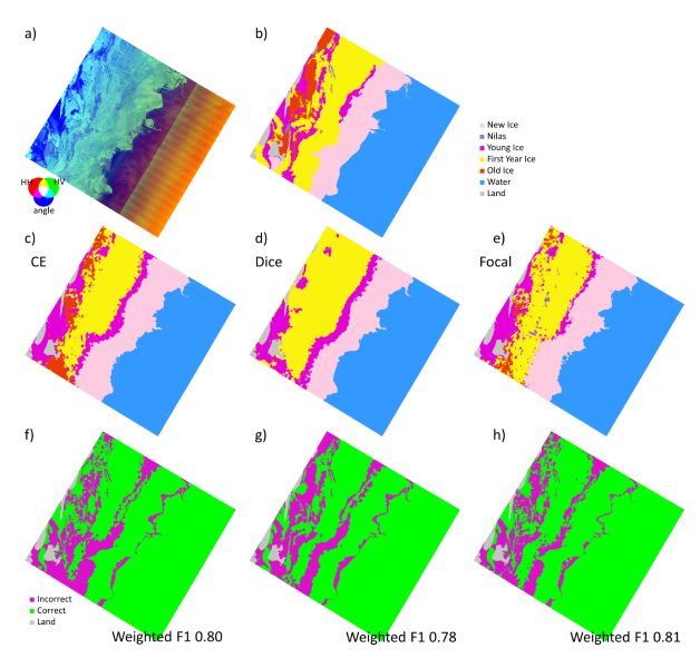
Comparison of Cross-Entropy, Dice, and Focal Loss for Sea Ice Type Segmentation
IGARSS 2023 - 2023 IEEE International Geoscience and Remote Sensing Symposium
·
16 Jul 2023
·
doi:10.1109/igarss52108.2023.10282060
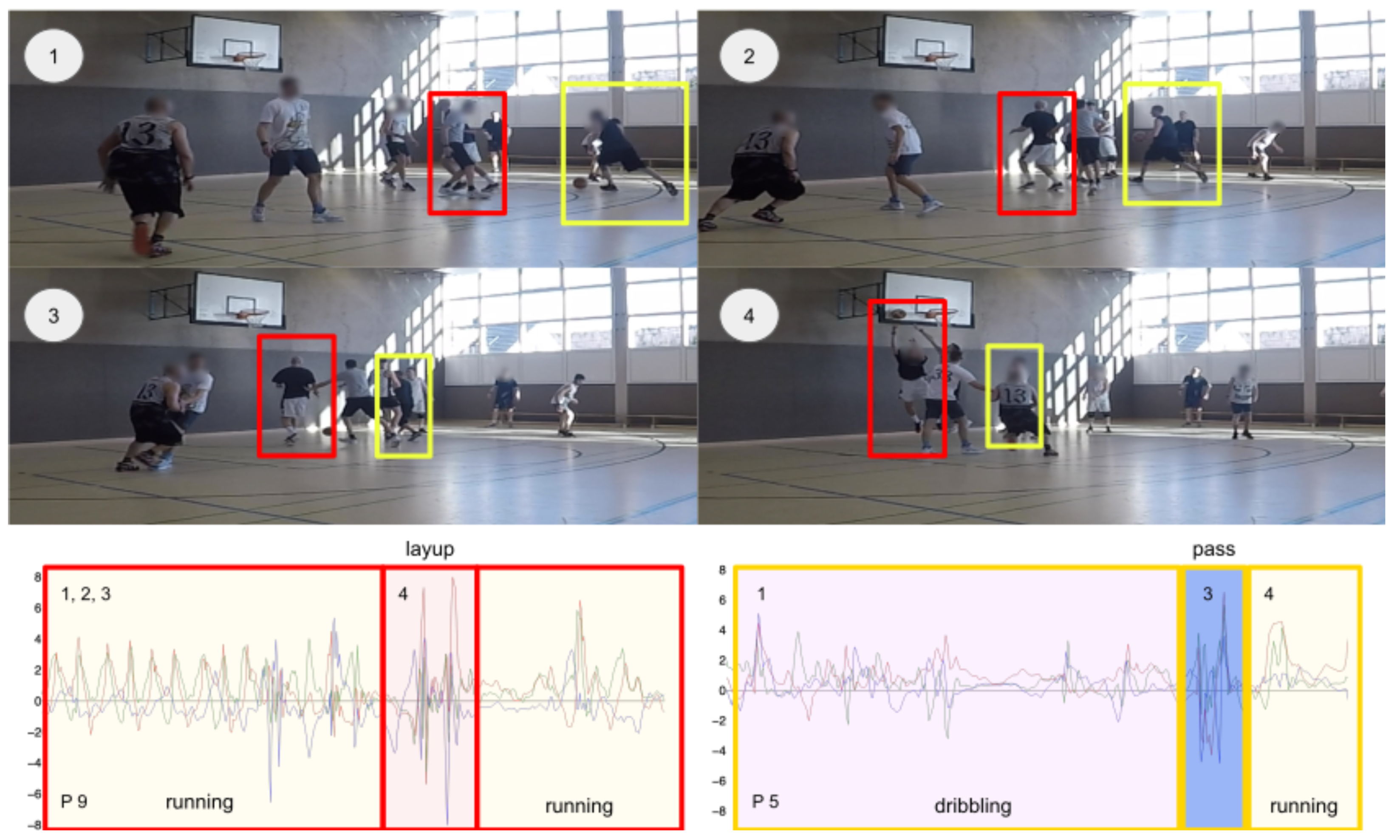
Hang-Time HAR: A Benchmark Dataset for Basketball Activity Recognition Using Wrist-Worn Inertial Sensors
Sensors
·
25 Jun 2023
·
doi:10.3390/s23135879
Forecasting COVID-19 and Other Infectious Diseases for Proactive Policy: Artificial Intelligence Can Help
Journal of Urban Health
·
23 Jan 2023
·
doi:10.1007/s11524-022-00714-7
Model Ensemble With Dropout for Uncertainty Estimation in Sea Ice Segmentation Using Sentinel-1 SAR
IEEE Transactions on Geoscience and Remote Sensing
·
01 Jan 2023
·
doi:10.1109/TGRS.2023.3331276
2022
Global Impact of COVID-19 Pandemic on Physical Activity Habits of Competitive Runners: An Analysis of Wearable Device Data
International Journal of Environmental Research and Public Health
·
10 Oct 2022
·
doi:10.3390/ijerph191912933
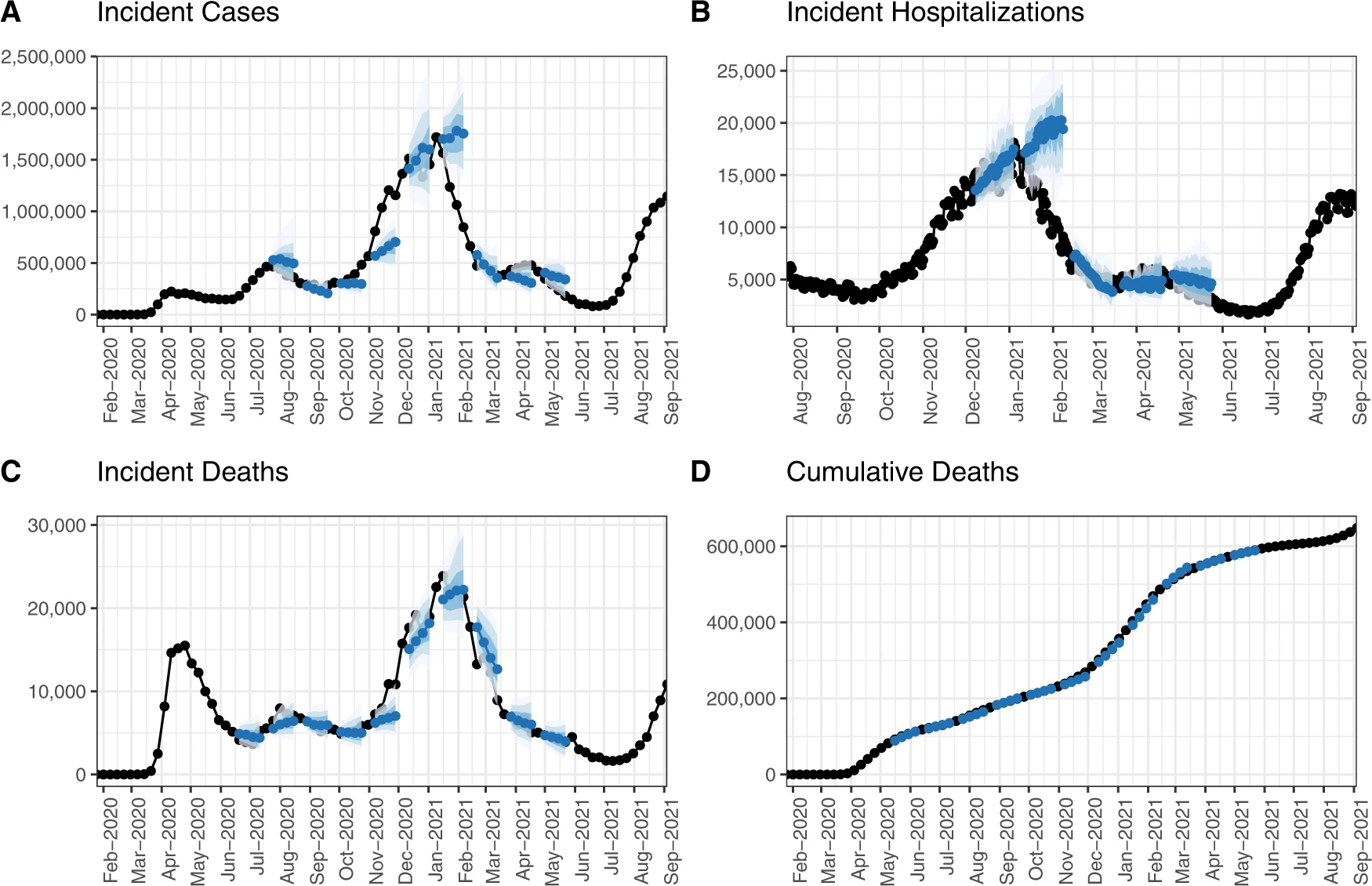
The United States COVID-19 Forecast Hub dataset
Scientific Data
·
01 Aug 2022
·
doi:10.1038/s41597-022-01517-w
Big Data Community Algorithms: Deep Learning for Mapping
Zenodo
·
01 Mar 2022
·
doi:10.5281/ZENODO.6320982
A spatiotemporal machine learning approach to forecasting COVID-19 incidence at the county level in the USA
International Journal of Data Science and Analytics
·
15 Jan 2022
·
doi:10.1007/s41060-021-00295-9
2021
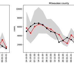
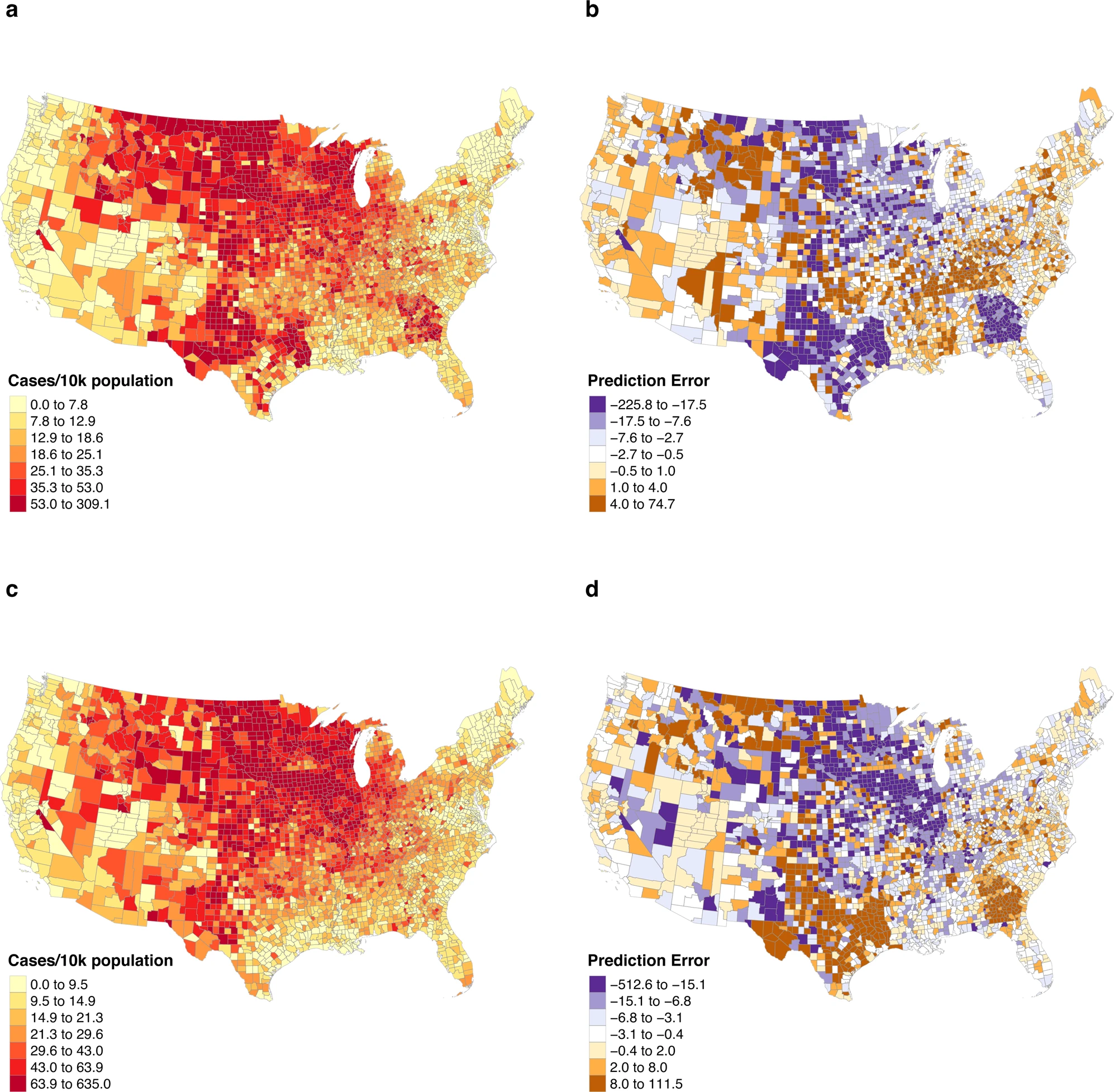
Spatiotemporal prediction of COVID-19 cases using inter- and intra-county proxies of human interactions
Nature Communications
·
08 Nov 2021
·
doi:10.1038/s41467-021-26742-6
Sea ice type classification in the Chukchi sea using deep learning
figshare
·
01 Jan 2021
·
doi:10.6084/M9.FIGSHARE.14772891.V1
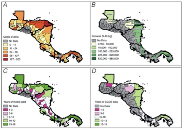
Classifying Narcotrafficking Spatial Event Documents using Transformers
Spatial Data Science Symposium 2021 (online)
·
01 Jan 2021
·
doi:10.25436/E2B88Q
2020
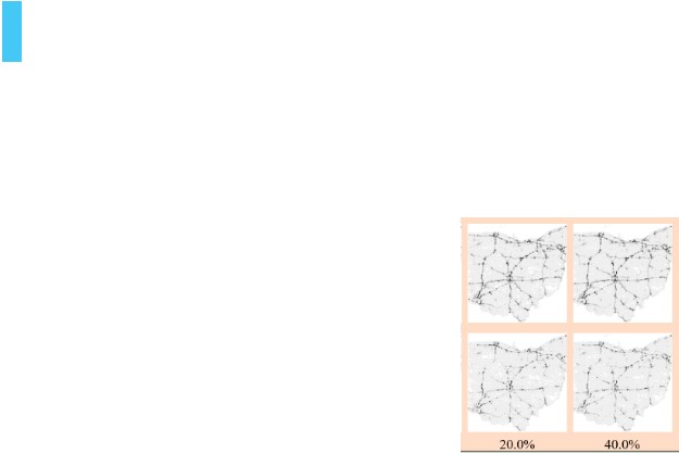
STULL: Unbiased Online Sampling for Visual Exploration of Large Spatiotemporal Data
2020 IEEE Conference on Visual Analytics Science and Technology (VAST)
·
01 Oct 2020
·
doi:10.1109/vast50239.2020.00012
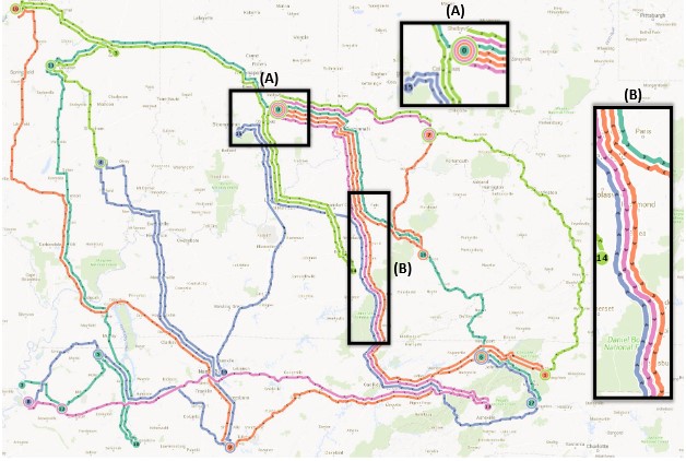
Route Packing: Geospatially-Accurate Visualization of Route Networks
Proceedings of the Annual Hawaii International Conference on System Sciences
·
01 Jan 2020
·
doi:10.24251/hicss.2020.168
Human-guided visual analytics for big data.
Big data in psychological research.
·
01 Jan 2020
·
doi:10.1037/0000193-008
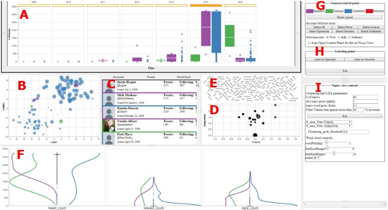
VASSL: A Visual Analytics Toolkit for Social Spambot Labeling
IEEE Transactions on Visualization and Computer Graphics
·
01 Jan 2020
·
doi:10.1109/tvcg.2019.2934266
2019
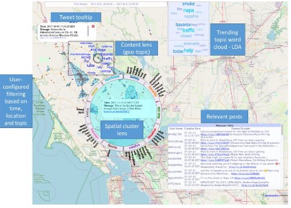
City-level Geolocation of Tweets for Real-time Visual Analytics
Proceedings of the 3rd ACM SIGSPATIAL International Workshop on AI for Geographic Knowledge Discovery
·
05 Nov 2019
·
doi:10.1145/3356471.3365243
Situational Awareness Enhanced through Social Media Analytics: A Survey of First Responders
2019 IEEE International Symposium on Technologies for Homeland Security (HST)
·
01 Nov 2019
·
doi:10.1109/hst47167.2019.9033003
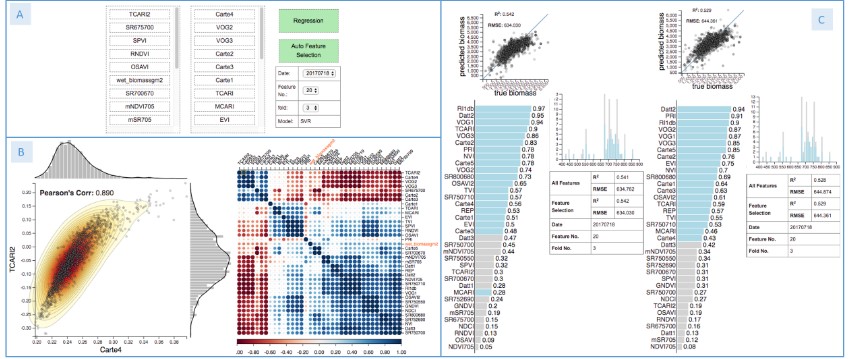
FeatureExplorer: Interactive Feature Selection and Exploration of Regression Models for Hyperspectral Images
2019 IEEE Visualization Conference (VIS)
·
01 Oct 2019
·
doi:10.1109/visual.2019.8933619
Social Media for Sensing: Do Tweets Represent Events at Geo-Tagged Locations?
Abstracts of the ICA
·
15 Jul 2019
·
doi:10.5194/ica-abs-1-160-2019
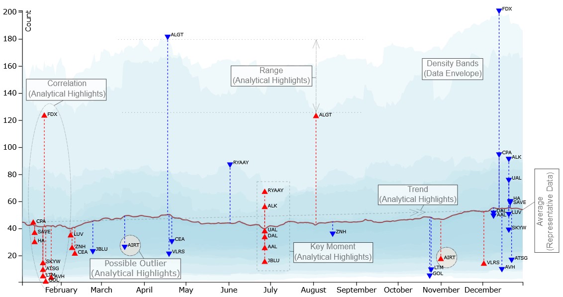
Bridging the Data Analysis Communication Gap Utilizing a Three‐Component Summarized Line Graph
Computer Graphics Forum
·
01 Jun 2019
·
doi:10.1111/cgf.13696
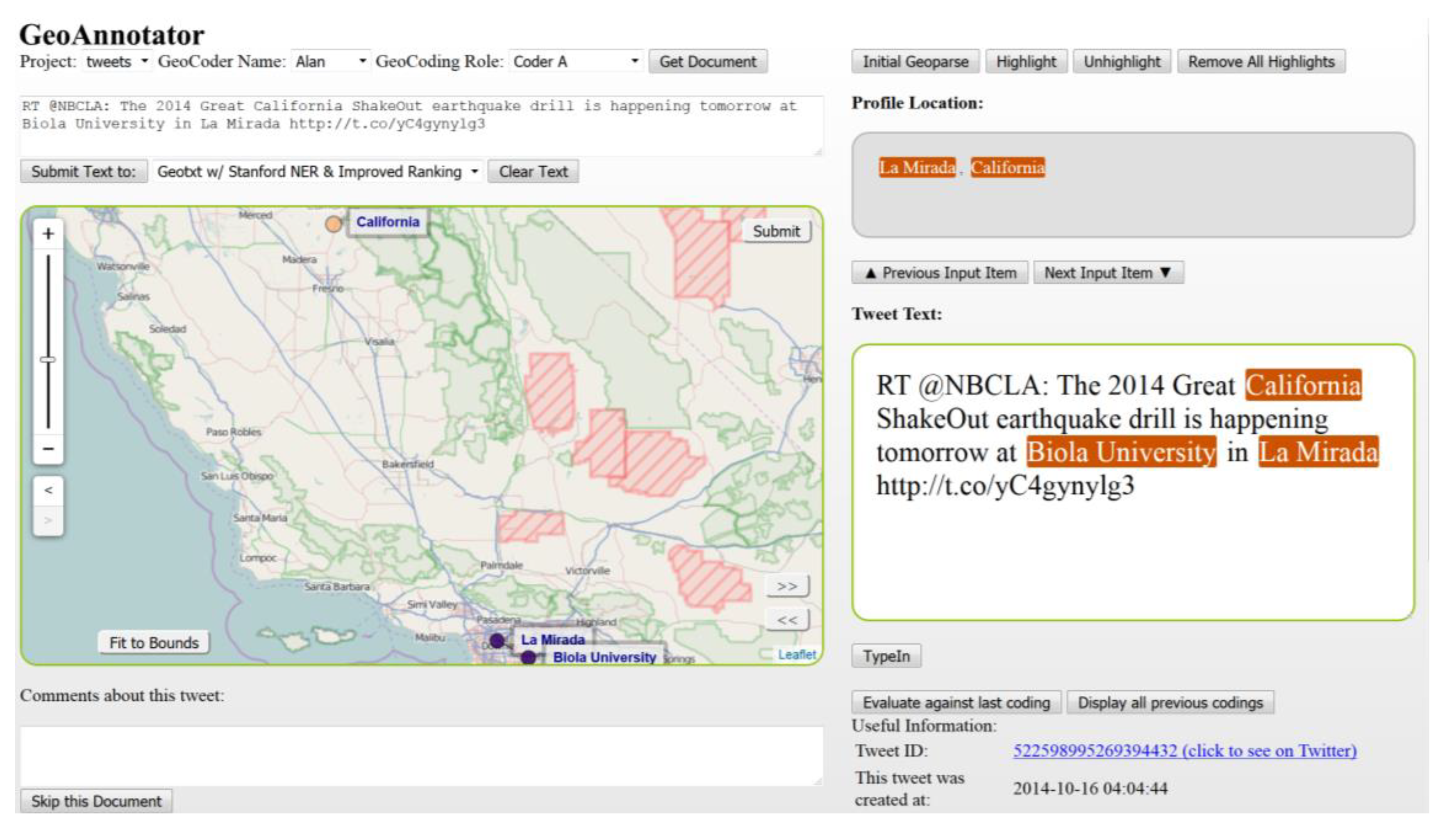
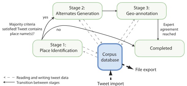
GeoAnnotator: A Collaborative Semi-Automatic Platform for Constructing Geo-Annotated Text Corpora
ISPRS International Journal of Geo-Information
·
27 Mar 2019
·
doi:10.3390/ijgi8040161
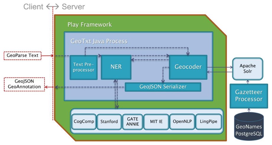
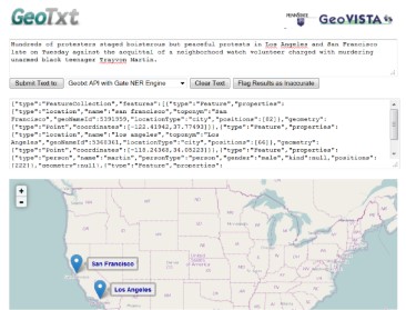
GeoTxt: A scalable geoparsing system for unstructured text geolocation
Transactions in GIS
·
16 Jan 2019
·
doi:10.1111/tgis.12510
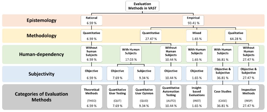
The Validity, Generalizability and Feasibility of Summative Evaluation Methods in Visual Analytics
IEEE Transactions on Visualization and Computer Graphics
·
01 Jan 2019
·
doi:10.1109/tvcg.2019.2934264
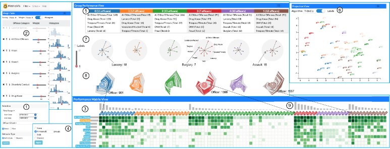
MetricsVis: A Visual Analytics System for Evaluating Employee Performance in Public Safety Agencies
IEEE Transactions on Visualization and Computer Graphics
·
01 Jan 2019
·
doi:10.1109/tvcg.2019.2934603
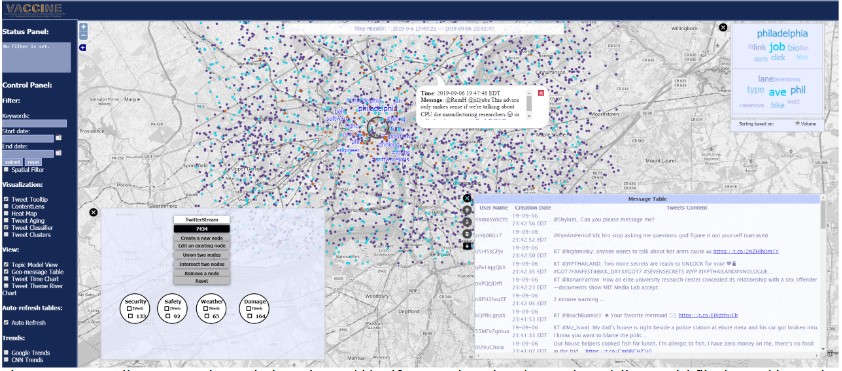
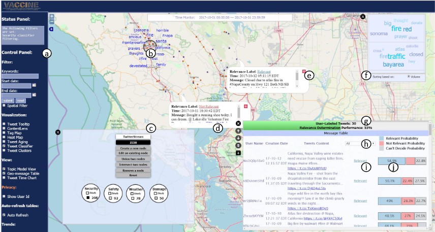
Interactive Learning for Identifying Relevant Tweets to Support Real-time Situational Awareness
IEEE Transactions on Visualization and Computer Graphics
·
01 Jan 2019
·
doi:10.1109/tvcg.2019.2934614
2017
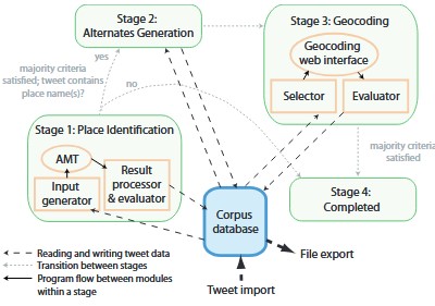
GeoCorpora: building a corpus to test and train microblog geoparsers
International Journal of Geographical Information Science
·
11 Sep 2017
·
doi:10.1080/13658816.2017.1368523
2016
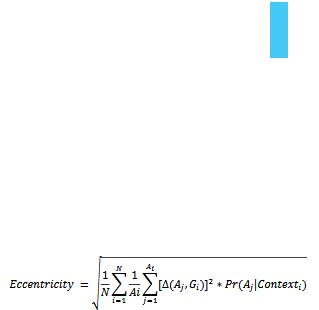
Performance evaluation measures for toponym resolution
Proceedings of the 10th Workshop on Geographic Information Retrieval
·
31 Oct 2016
·
doi:10.1145/3003464.3003472
2015
Towards contextualized models of spatial relations
Proceedings of the 9th Workshop on Geographic Information Retrieval
·
26 Nov 2015
·
doi:10.1145/2837689.2837692
2014
Construction and first analysis of a corpus for the evaluation and training of microblog/twitter geoparsers
Proceedings of the 8th Workshop on Geographic Information Retrieval
·
04 Nov 2014
·
doi:10.1145/2675354.2675701
2013
GeoTxt
Proceedings of the 7th Workshop on Geographic Information Retrieval
·
05 Nov 2013
·
doi:10.1145/2533888.2533942


