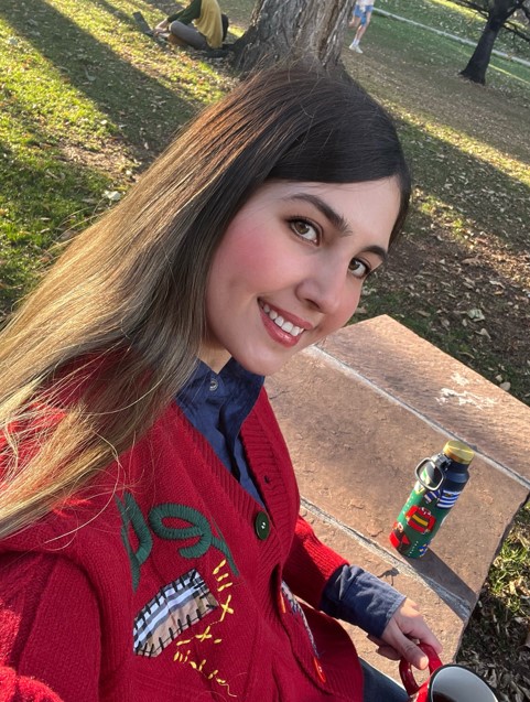
I am currently pursuing a Ph.D. in Geography with a focus on Remote Sensing and GIS at CU Boulder, under the guidance of Dr. Morteza Karimzadeh. I obtained a B.S. in Civil Engineering-Geomatics from K. N. Toosi University of Technology and completed an M.S. in Surveying-Remote Sensing Engineering, gaining practical skills in remote sensing applications.
My scientific experiences and interests are focused on utilizing machine learning and deep learning algorithms on satellite imagery for modeling spatiotemporal patterns such as land use and land cover changes, vegetation dynamics, and climate change, as well as monitoring meteorological conditions, agricultural droughts, and floods. I have gained practical experience in developing and working with deep learning architectures such as Hybrid 3D-2D CNNs, U-Net, DeepLabv3, and more using optical, SAR, and hyperspectral data. Currently, my research is focused on sea ice classification using satellite imagery and deep learning models.
In my free time, I find joy in hiking, where I explore nature and embrace the outdoors. Another passion of mine is playing the santur, an instrument that brings melody to my life. I’m an avid reader, diving into various books to feed my curiosity.
Search for Sepideh Jalayer's papers on the Publications page


