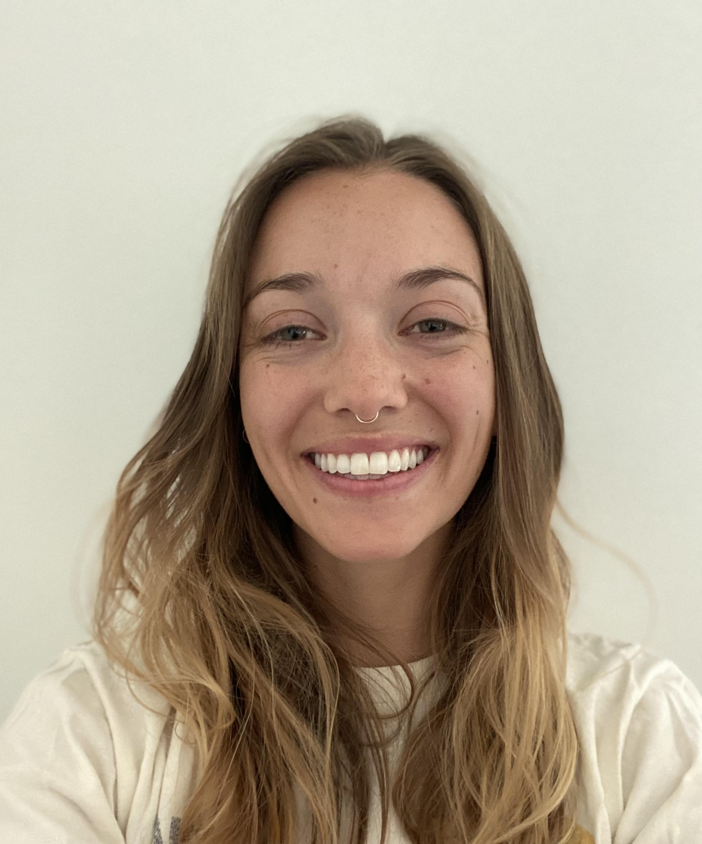
I finished my Masters degree in the Geography Department at CU Boulder as a National Science Foundation Graduate Research Fellow. I received my BA from UCLA in Geography/Environmental Studies with minors in both Geospatial Information Systems & Technology and Conservation Biology. During my undergraduate years, I spent summers at NASA Goddard Space Flight Center and the International Arctic Research Center in Fairbanks, Alaska studying Arctic lakes using remote sensing, machine learning, and in situ measurements. I also performed data processing and analysis for projects studying supraglacial streams on the Greenland Ice Sheet and coral health in Hawaii. I have now pivoted to studying the impacts of fires on vegetation in the western U.S.
Prior to attending CU, I gained experience analyzing vegetation and natural disturbances while working as a contractor for the U.S. Forest Service. I worked for 3.5 years as a Remote Sensing Analyst out of the Geospatial Technology and Applications Center in Salt Lake City, UT. As part of the Terrestrial Ecology group, my work centered around modeling soil type and resilience, mapping vegetation disturbance, and building geospatial tools and workflows.
Intersecting Computer Science, Remote Sensing, and Ecology, my thesis project leverages deep learning to forecast and analyze vegetation recovery after fires. I primarily rely on multitemporal, multispectral remote sensing data and topo-climatic derivatives alongside spatio-temporal AI models. I aim to develop a methodology for predicting, at high spatial and temporal scales, where and when vegetation is able to regrow. Software/languages I use regularly include Google Earth Engine, Python, and both QGIS and ArcGIS.
Outside of the lab, I spend my time skiing, running, reading, and backpacking. I have backpacked in most of the western U.S. states. I also play competitive ultimate frisbee out of Denver.


