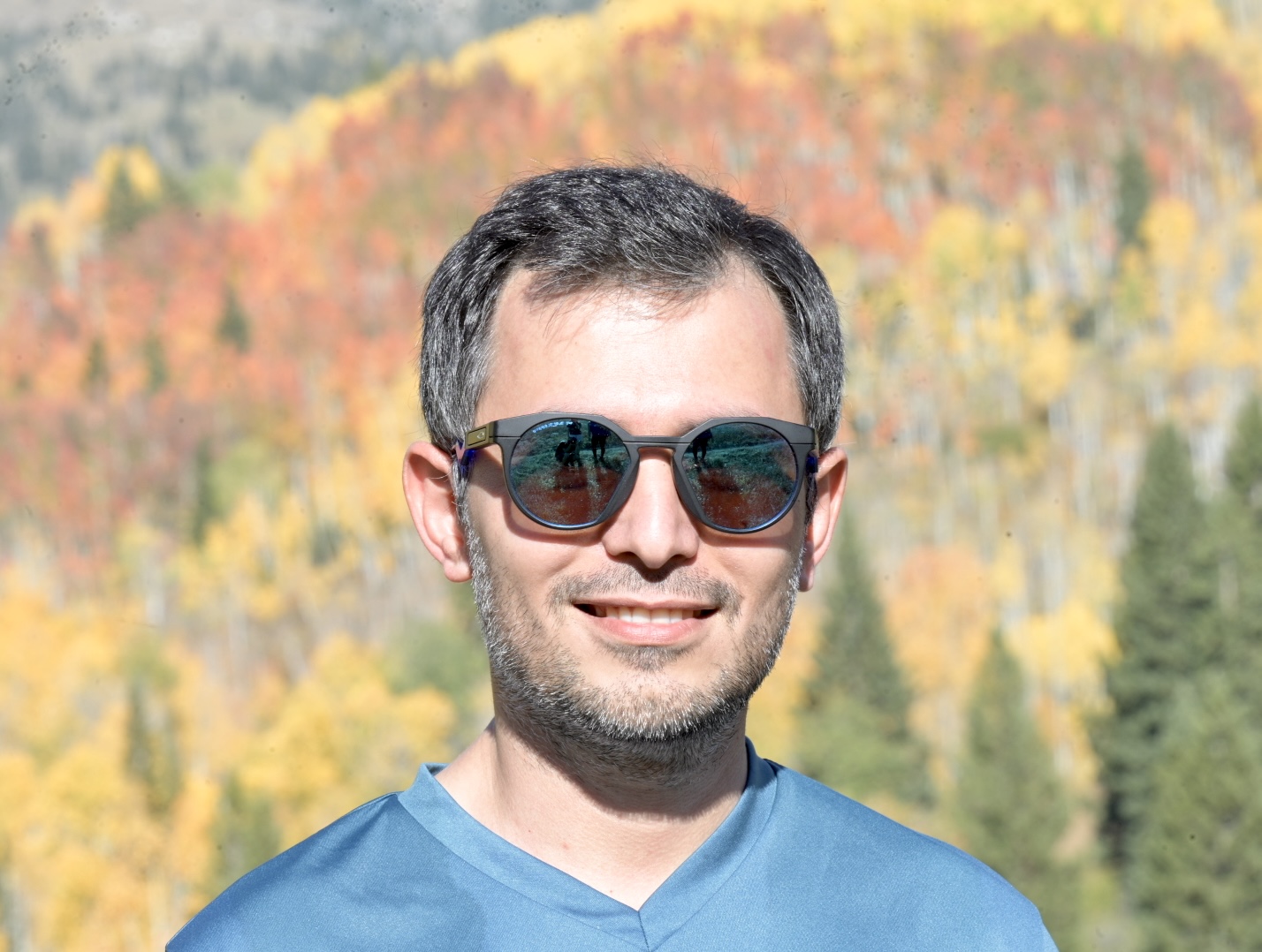
I was a Ph.D. student in the Department of Geography at the University of Colorado Boulder, specializing in spatiotemporal deep learning.
My research focuses on advancing Geospatial Artificial Intelligence by addressing key challenges that limit its potential. Specifically, I explore ways to better capture and leverage spatial dependence in AI models, train models with uncertain labels, and enable models to detect spatial patterns across multiple scales and contexts.
My work spans two primary application domains: geograhic forecasting of COVID-19, and sea ice mapping using satellite imagery.
For COVID-19 forecasting, I have developed models that integrate human mobility and socio-demographic data to better predict spatiotemporal trends.
In the sea ice classification domain, I have worked on addressing challenges related to uncertain labels in remotely sensed radar imagery and have explored methods to incorporate spatial context at varying scales using CNN-based models.
My research aims to deepen our understanding of how spatial principles like connectedness, scale-dependent representations, and uncertainty can be better integrated into Geospatial AI models.
Previously, I have worked as an AI resident at Google, where I worked on developing AI climate models. I also hold an M.A. in Geography from the University of California, Santa Barbara, an M.Sc. in GIS Engineering and a B.Sc. in Geomatics Engineering from K.N. Toosi University of Technology.
Outside of academia, I enjoy hiking, skiing, and playing pickle ball.


